
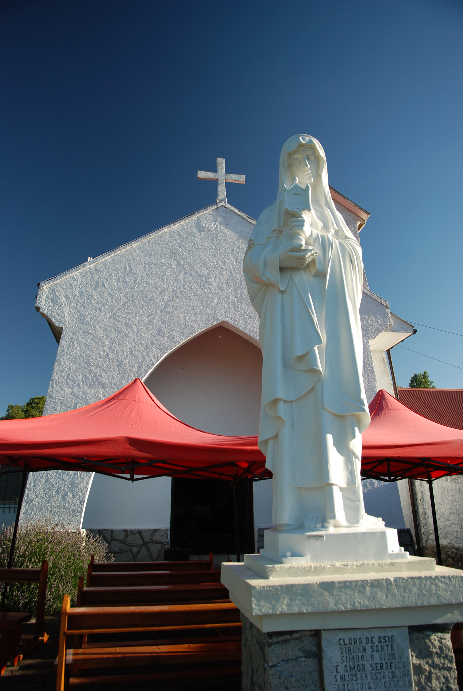
The church at the top of the hill
The Monastery on the Hill, and Smoking
So two days ago, we went to this really cool monastery up on the hill. From the city, all you can see is part of the building. From the monastery, however, you can see just about all of Pucon. The road up was quite nice, made of cobblestone. After three switchbacks, we finally made the parking lot, just outside of it, which is actually quite small. We walked through the archway to the service area, and we found they usually do it outside. The outdoor area is made of a two by six area of pews. Inside, was just as big, but they had the alter, the cross, and these really nice statues on John the Baptist, Joseph the Carpenter, Mary, Joseph’s wife, and there is one more that I don’t know the name of, but it is still really nice. Behind the outdoor worshiping area, there was a little overlook with a staircase. If you were to go down the staircase, which I did, you would come out right next to the caretakers cabin, which is really small, but down at the bottom of the drive up. That surprised me because the staircase is actually quite short.
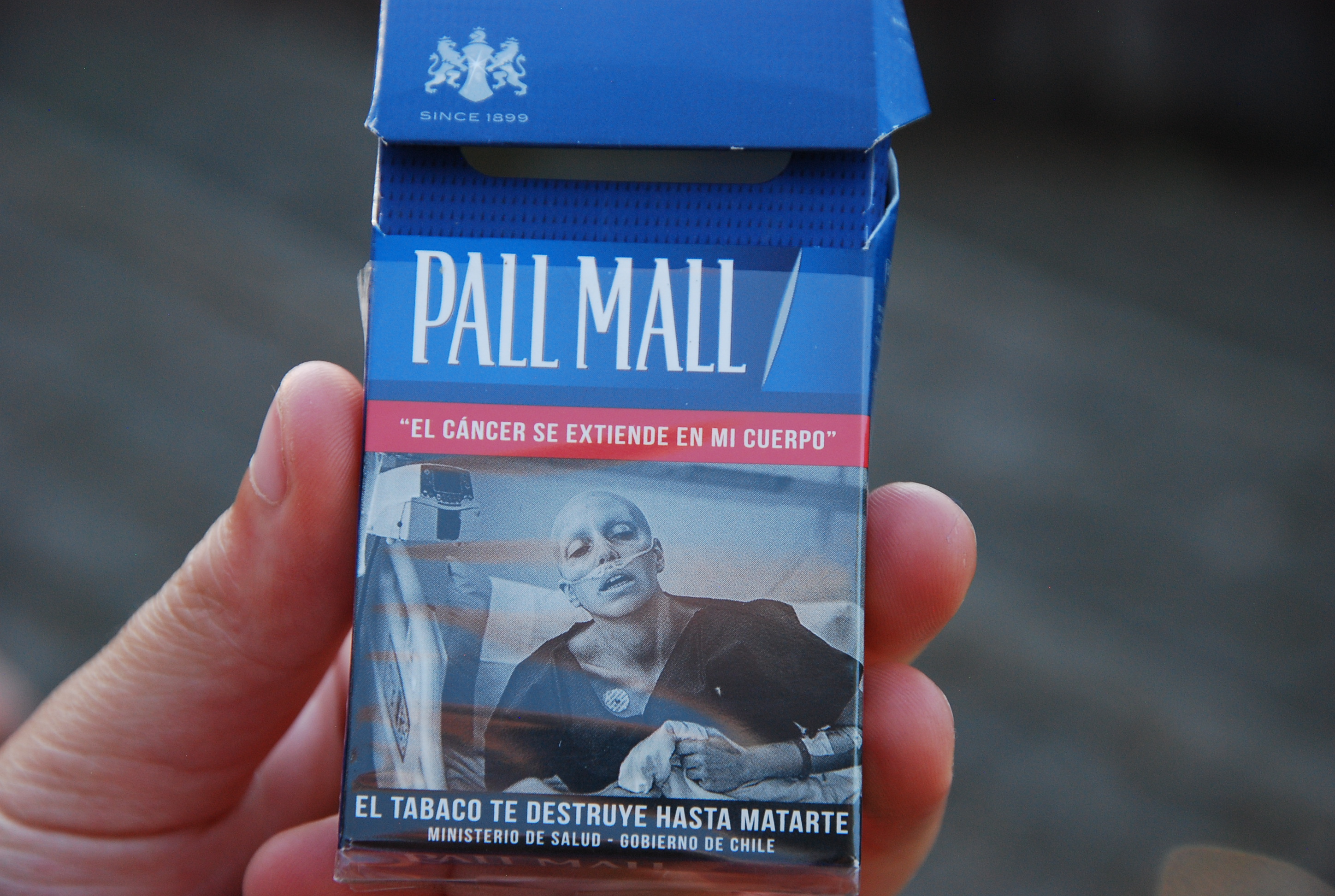
When my mom and I were walking up the stairs, she found this old smoking box, which was empty of course. In my opinion, the Chilean government does a better job reducing smoking then the USA does. It is not”General Surgon says smoking is bad” The images we saw on the box can say why.
Ten Mile Hike Number Two
Anyways, After coming back from town, my mom makes a decision. “Hey, we are doing another 10 mile hike tomorrow. Get planing and packing!” Oh brother! Why does she have to do this on such short notice? So, we chose a 7.1 KM hike (one way), 880 meters incline, overlooking a different volcano (Yes, not Villarica),and four hours one way. No big deal right? Well, keep listening. We left at 8:30 in the morning, and drove an hour and a half to this really small and not well marked trail head. After getting sun blocked and bug-repellent sprayed, we set off. After hiking 500 meters, my dad says, “Wait, we have to turn left back about 250 meters.” UGH!!!!!!! So we turned back, and backtracked. We reach the place were we or at least my dad thinks, we need to turn left at. So we head up that trail, and after 750 meters, my dad says” Wait, this isn’t it!” Not again. we head back to the car, and take a little break. While my dad was figuring out where to go, we talked. My mom, brother and I on the back of a car. My brother said,”You know what would be wierd, is if we were on the right trail the first time.” He was right. During this break, my dad figured out that we were on the right trail the first time. That was good to know.
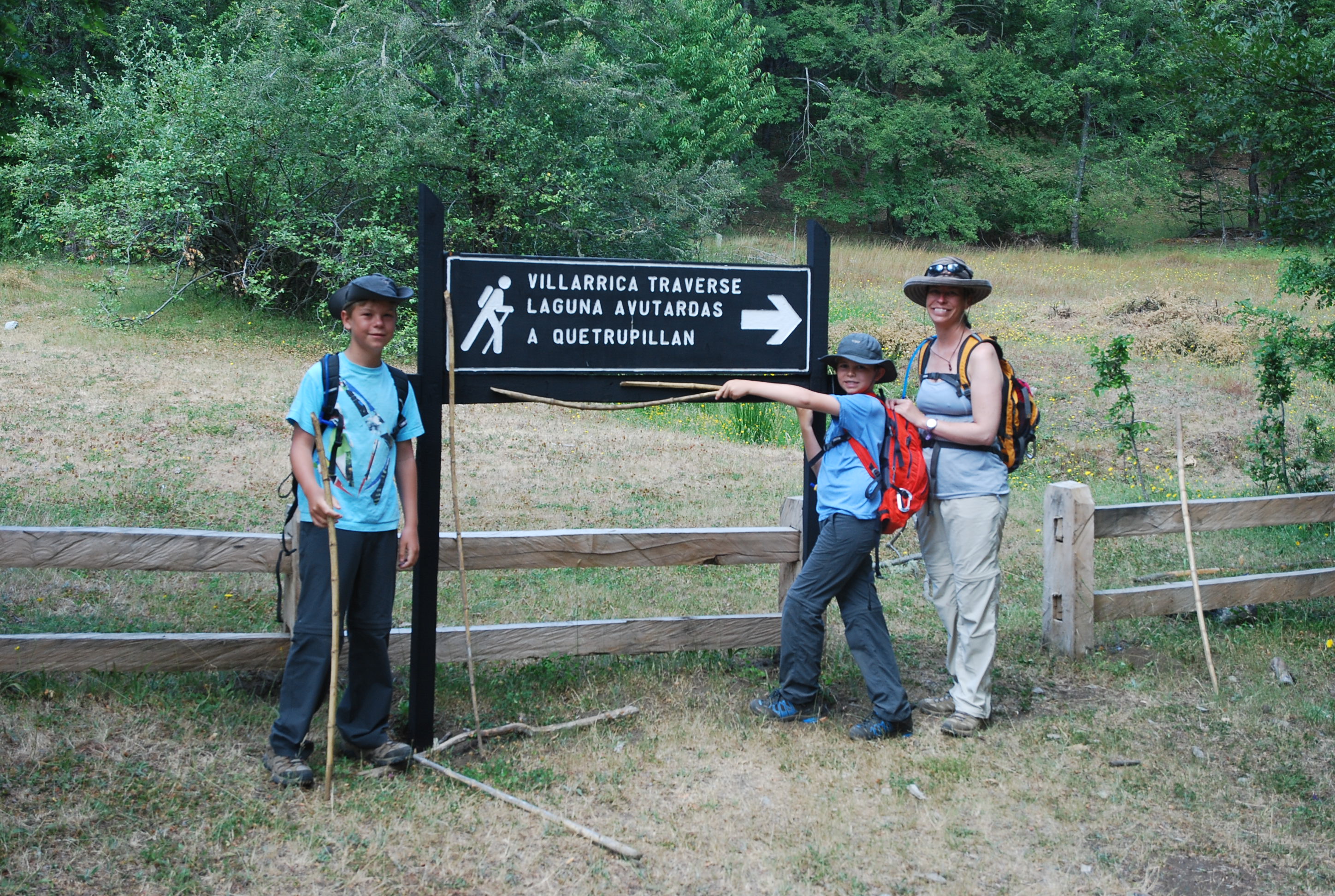
Duh Dad – follow the sign to the trail…
We head back up the trail, past our last point, and we were on our way. After two kilometers, several discussions, and one rest stop, we finally reached our trail. You see, we had to hike a section of a different trail that was 40.7 kilometers long to get to our trail. Once on our trail, we found a fork, one that went our way, with a sign, the other, follows a old dirt road. We took our trail, and after 25 meters, we come along a river. How are we going to cross. We looked to our left, no luck. In front of us? No, to our right? Yes. We found the bridge, which was two not so sturdy logs that were overgrown with brush for the first part to a small island with room for one person, then another set of two unstable logs to the other side of the river, which was flowing very fast of course, but very small, since it was low. Once everyone was across, we walked over a field of large rocks to get to the trail. Once past the river, it was flat for about 500 meters, then a little incline, and we come across another fork in the road. No signs. Great. We went to the right, and come across a field. The trail continued across a series of trees, anthills, mud pits, and overgrown brush. My dad crosses one of the mud pits and we find this trail dead ends with overgrown brush for about fifty meters. It was perfect, because we had reached four miles out, so we could turn back. We went through the mud, brush, anthills, and trees, to get back to the fork.
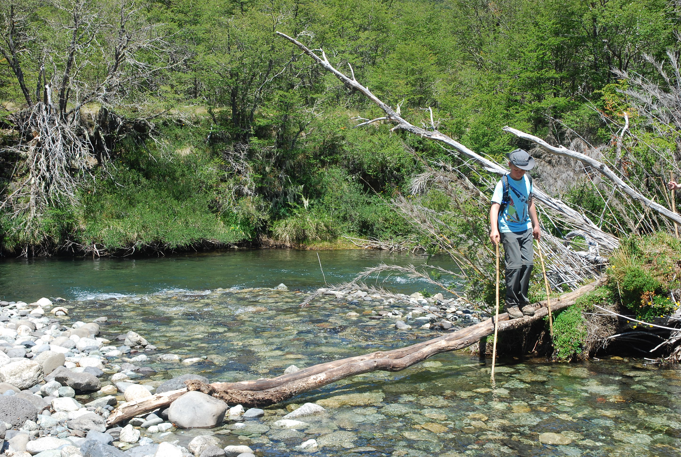
Crossing the raging river.
We went down the hill to the river, and we had lunch by the banks, enjoying our sandwiches, trail mix, and granola bars. I figured out during lunch, that fish like salted peanuts. Seriously, try it! After lunch, we went across the logs again, except that this time, it was easier than the first time, since we knew what we were doing of course back up to the fork to the road, and to this trails trail head, not where the car was. We were looking at the path on the way down. I wanted to do a different trail for this little portion. The last time, we went up a longer, less steep trail. I wanted to take the shorter trail, but it had a 50 degree decline. We took the longer route for safety.
The first thing I wanted to do when I got back was to go to bed, but we had a little going away party for our neighbors up on the hill.(Note that this is not the going away party with its own post.) We said our goodbyes and we went back to Romance del Lago which is short for Lake Romance. Thanks to this wacky excursion, we are now two fifths of the way of completing the five ten mile hikes. And we are planning one more for Pucon, so stay tuned.
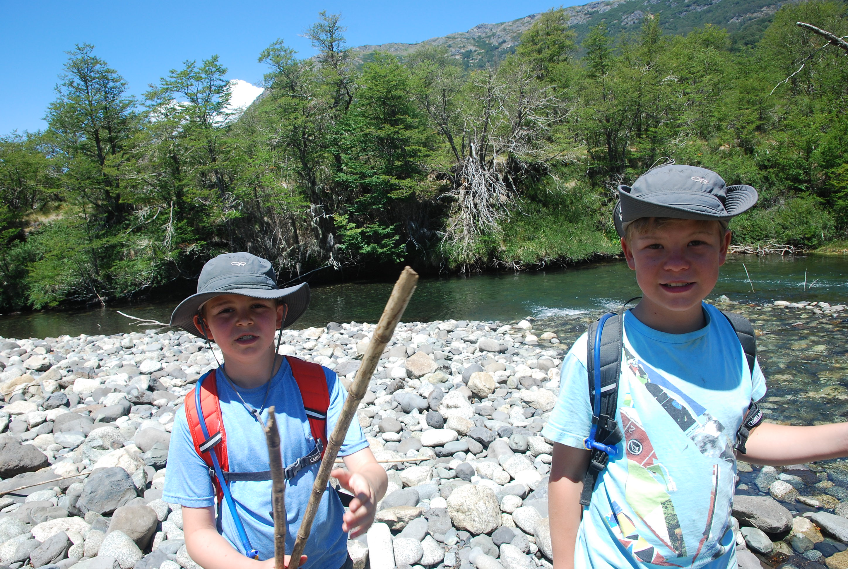
We’re scouts and we know it.
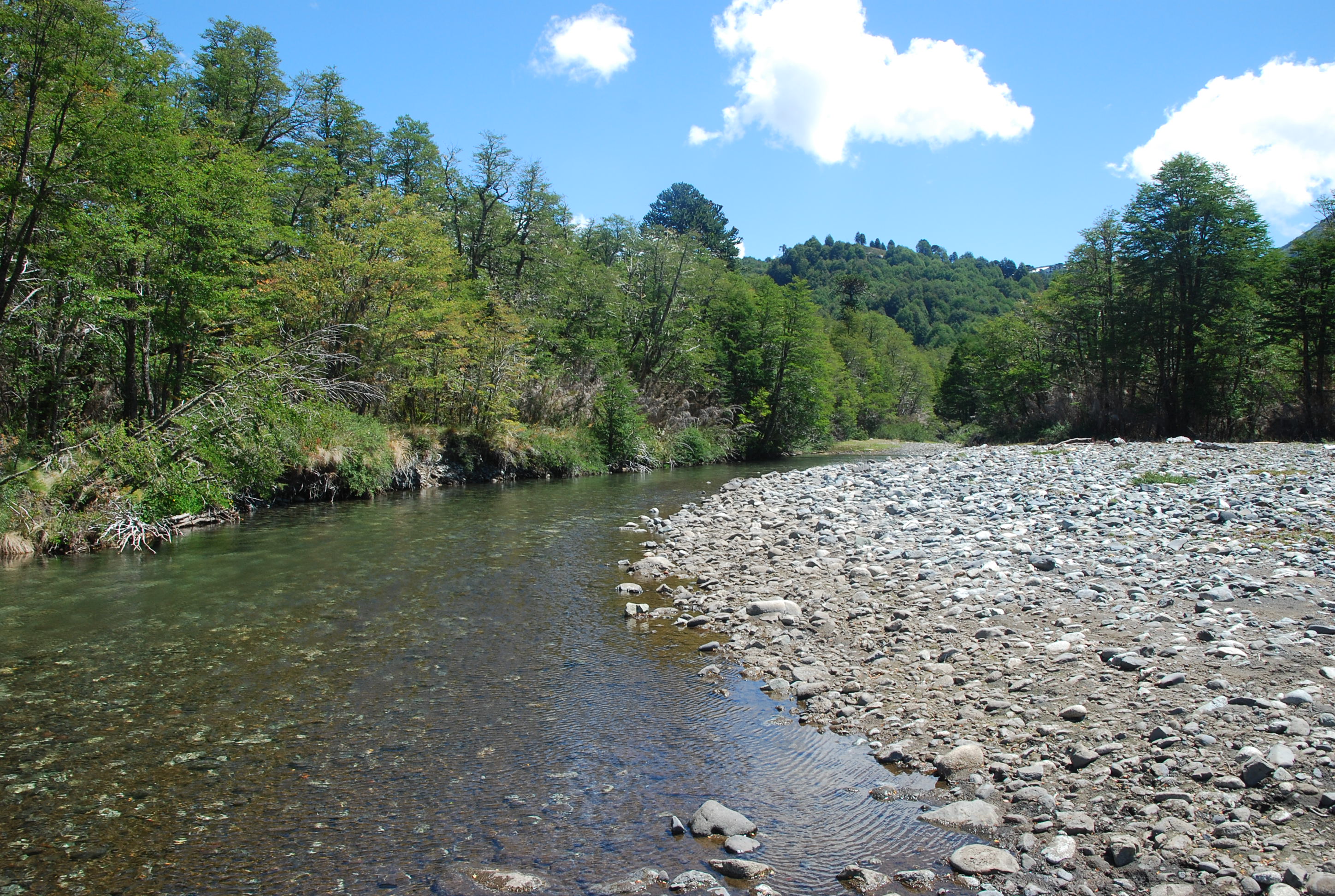
Looking up stream.

Dry and hot at the top part of our hike – so we thought.
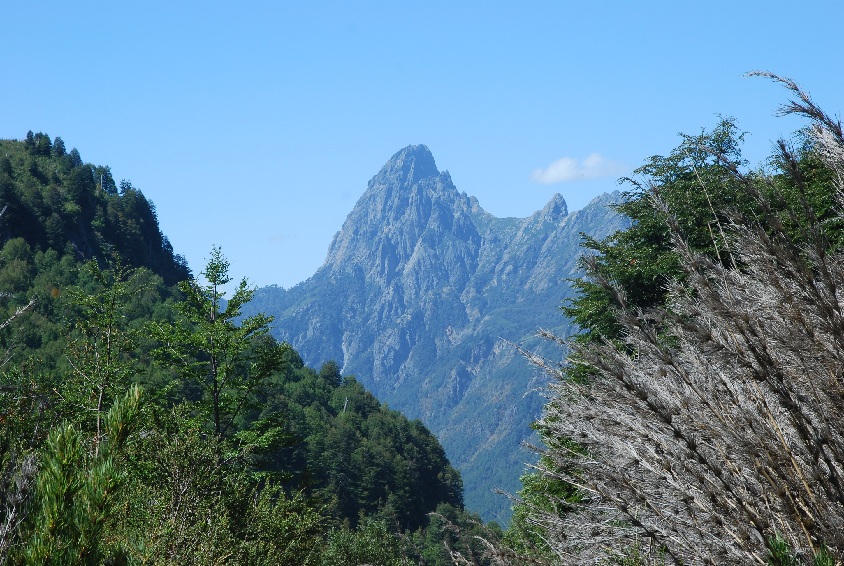
One of the views from our hike. This is looking East towards Argentina – notice how the rocks are much more rough looking.
